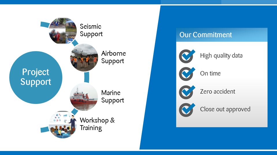
Project Support is an integral part of Geowave Technology services. We are able to bring our experience in running projects to ensure that your project is run to the very highest standards from the initial planning stage through to the survey’s completion.
We will assist our client and their contractors in the process of:
- Operational Risk Assessment
- Security Risk Assessment
- Operational and Security Plan preparation
- HSE and Technical Audit
- Environmental Impact Assessment
- Project documentation (Project Plan, HSE Plan and Acquisition Plan)
- Bridging documentation between Client and contractor
- Ongoing Acquisition Project Management
Having supported projects over many years, we know to expect the unexpected and to prepare and plan for every eventuality. Our project support is able to minimize that risk. The project manager’s role varies from project to project but typically encompasses the following:
- fully understanding our client’s requirements
- ensuring that contractor in the field fulfills the contract between itself and the client
- monitoring cost versus efficiency each day to ensure that the project remains on track and to mitigate at times of under-performance, preventing further failure
- advising on the selection of effective contractor personnel
- continually monitoring the suitability of the geophysical acquisition parameters as the acquisition progresses to different parts of the prospect
- constantly checking data quality, HSSE performance and goals and all of this through communicating effectively and frequently with both the contractor and our client in person as much as is practicable
The ability to adapt to the various internal procedures of the contracting party, and to form close links with the nominated representatives, is essential in ensuring that the key issues of cost, time, quality and above all, client satisfaction, can be realized.
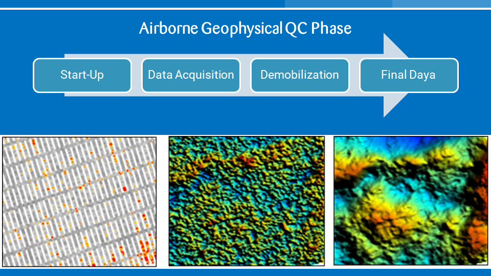
Geowave collaboration with our partner Gondwana Geoscience providing airborne geophysical support services to the oil and gas industry in Indonesia. In 2016 since the establishment of Gondwana Geoscience, approximately 40,000 line km of Falcon AGG and FTG data in Indonesia were QC-ed by Gondwana. The ability to perform Quality Control services is dependent on years [...]
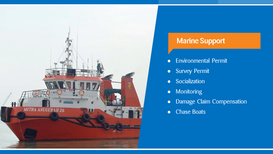
Geowave Technology can provide for clients involved in marine support, cable laying operations or other marine activity, suitable fishing vessels to act as Chase Boats for the purpose of intercepting any approaching vessels which could damage cables being towed or installed on the seabed. Vessels mobilized as chase boats would have ARPA radar and an [...]
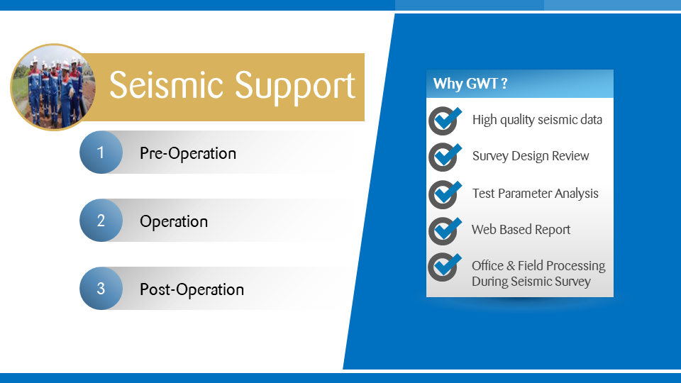
Our seismic support services are available for land operations. We have extensive experience in 2D and 3D acquisition operations with various energy sources on land operations. Our seismic support services constitute survey planning, permit, socialization, quality control, project management, technical audits, HSSE advisory consultancy, and damage claim compensation. To minimize LTIs (lost time incidents), all [...]